Unlock the full potential of our free geography tools with comprehensive tutorials, expert tips, and practical applications. From finding precise coordinates to exploring global currencies, master the art of geographic exploration.
Published: July 25, 2025
MissionGeography Team
Geography Education
Geography Tools Guides & Educational Resources Blog | MissionGeography
Published on: |
Updated: |
Author:MissionGeography Team |
Reading Time: 12 minutes
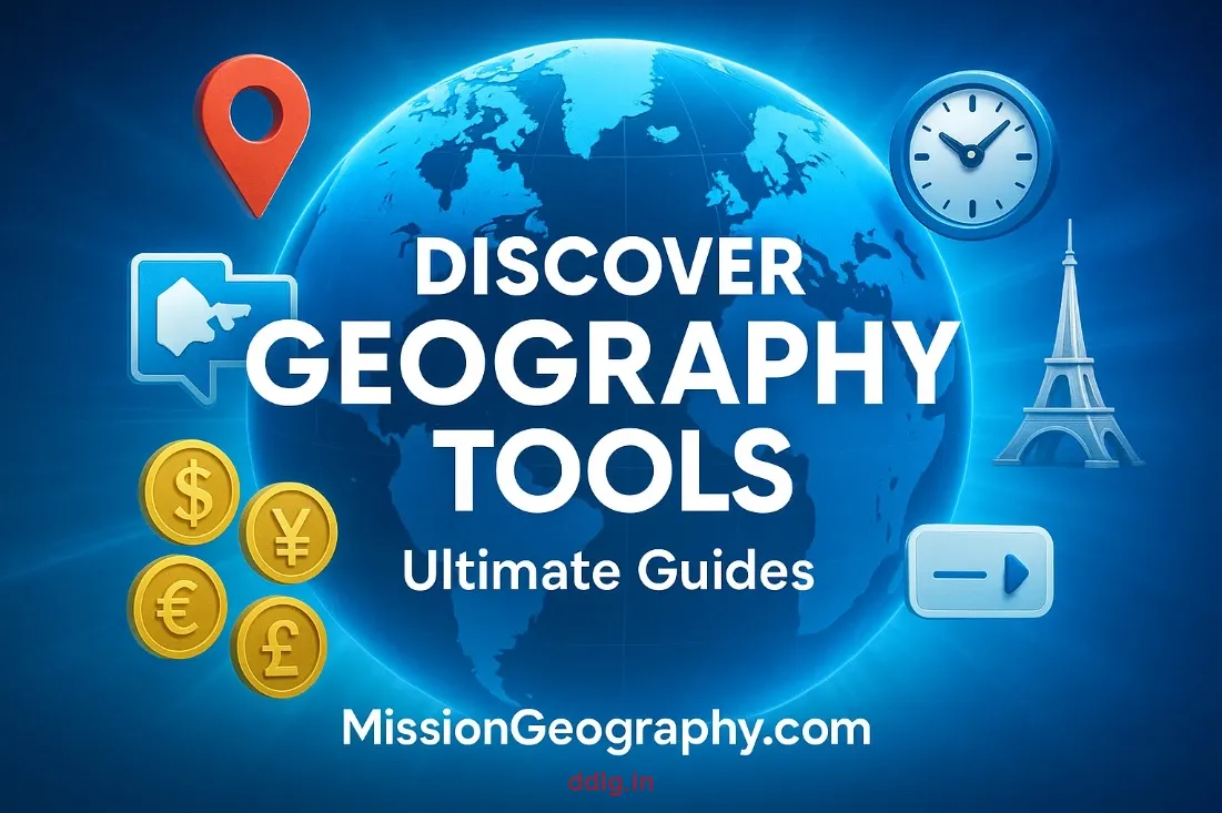
Empowering Global Education Through Interactive Geography Tools
Welcome to the epicenter of geographic discovery at MissionGeography.com! In an increasingly interconnected world, understanding geography isn't just academic—it's essential for informed global citizenship, successful international business, effective cross-cultural communication, and making sense of the complex geopolitical landscape that shapes our daily lives.
Our comprehensive suite of five cutting-edge geography tools represents years of development focused on one goal: making world-class geographic education accessible to everyone, everywhere. Whether you're a student preparing for geography examinations, an educator crafting engaging lesson plans, a global traveler planning international adventures, a researcher conducting spatial analysis, or simply someone with an insatiable curiosity about our planet, we've designed our platform to transform how you explore and understand the world.
This ultimate guide showcases our flagship educational resources: Country Info Finder, Currency by Country, Latitude Longitude Finder, Time Zone Converter, and World Capitals Finder. Each tool comes with meticulously crafted tutorials packed with step-by-step instructions, professional tips, real-world applications, creative use cases, and advanced techniques that will transform you from a casual user into a geography tools expert.
The Transformative Power of Modern Geography Tools
Geography education has evolved far beyond memorizing capital cities and locating countries on static maps. Today's geography encompasses spatial thinking, cultural understanding, economic analysis, environmental science, and global interconnectedness. Our tools are designed to foster this comprehensive approach to geographic literacy.
Educational Impact & Applications
Academic Excellence
Support students and educators with reliable, citable data for geography lessons, research projects, and competitive examinations
Global Travel Intelligence
Empower travelers with precise location data, time zone calculations, currency information, and cultural insights for seamless international journeys
Professional Research
Support researchers, journalists, and business professionals with instant access to accurate geographic and demographic data
Intellectual Curiosity
Fuel your passion for discovery with interactive tools that make global exploration engaging, informative, and accessible
Why Our Approach Matters
Traditional geography education often relies on static resources that quickly become outdated. Our tools provide real-time, dynamic data sourced from authoritative international databases, ensuring accuracy and relevance. More importantly, they foster interactive learning that engages users actively rather than passively consuming information.
Immediate Access: No downloads, installations, or registrations required—start exploring instantly
Universal Compatibility: Works seamlessly across all devices and browsers for consistent user experience
Data Integrity: Sourced from trusted APIs and international databases for professional-grade accuracy
Educational Focus: Designed specifically for learning with clear, comprehensive information presentation
Global Accessibility: Free forever, supporting education equity worldwide
Our Comprehensive Geography Tool Suite
Each tool in our collection serves a specific purpose while working synergistically with others to provide comprehensive geographic intelligence. Explore our tools directly:
Dive deep into each tool with our expertly crafted guides. From basic usage to advanced techniques, become a geography tools expert with our step-by-step tutorials.
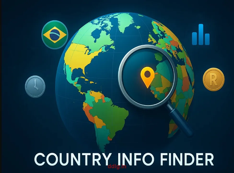
Ultimate Guide to Country Info Finder: Master Global Demographics & Geographic Data
Discover how to unlock comprehensive country intelligence in seconds using our Country Info Finder tool. This ultimate guide covers everything from basic country searches to advanced demographic analysis, helping you explore population statistics, official languages, geographic regions, cultural insights, and economic indicators. Perfect for academic research, travel planning, business intelligence, and satisfying your geographic curiosity about any of the world's 195 countries.
What You'll Learn: Country search techniques, data interpretation methods, research applications, comparative analysis strategies, and professional use cases for educators, students, travelers, and business professionals.
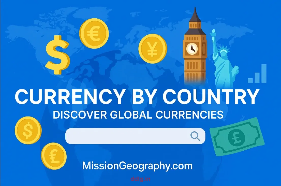
Master international monetary intelligence with our comprehensive Currency by Country guide. Learn to quickly identify official currencies, understand regional monetary unions, explore exchange rate contexts, and apply currency data for travel budgeting, international business transactions, economic research, and global commerce understanding. This guide transforms you from currency confusion to monetary mastery.
What You'll Learn: Currency identification techniques, monetary system understanding, travel budgeting applications, business transaction support, and economic analysis methods for global financial literacy.
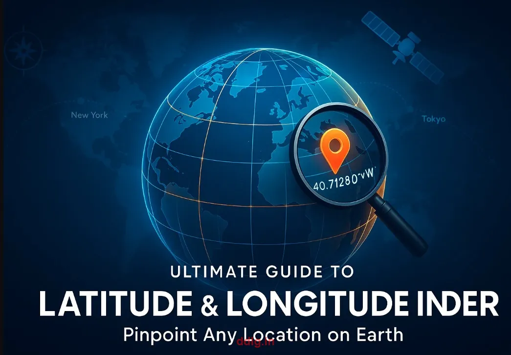
Become a coordinate expert with our comprehensive Latitude Longitude Finder guide. Discover how to pinpoint any location on Earth with mathematical precision, understand coordinate systems, convert between formats (decimal degrees vs. DMS), apply coordinates for navigation, geocaching, surveying, mapping projects, and spatial analysis. From finding your favorite coffee shop to locating remote research sites, master the art of global positioning.
What You'll Learn: Coordinate system fundamentals, location search strategies, format conversion techniques, navigation applications, mapping integration, and professional surveying methods.
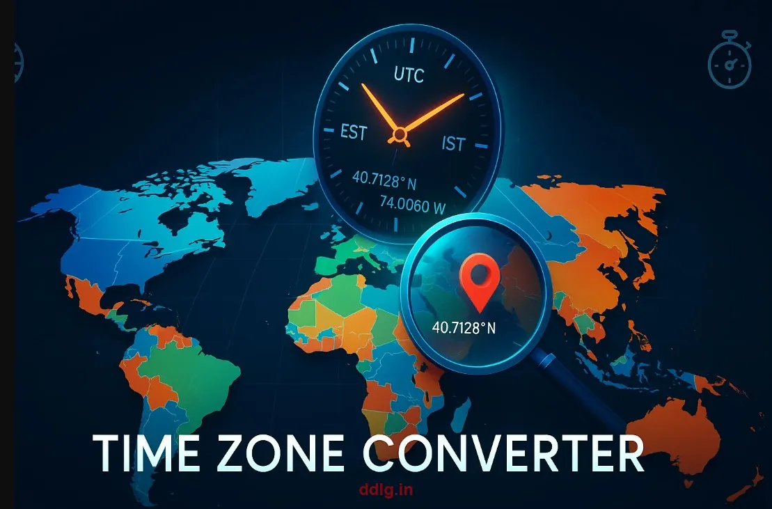
Navigate the complexities of global time with our expert Time Zone Converter guide. Learn to calculate precise local times using coordinates, understand daylight saving adjustments, coordinate international meetings, plan global travel itineraries, manage remote team schedules, and master the intricacies of time zone mathematics. Essential for international business, remote work, travel planning, and global communication.
What You'll Learn: Coordinate-based time calculation, daylight saving navigation, business coordination strategies, travel planning techniques, and remote work time management solutions.
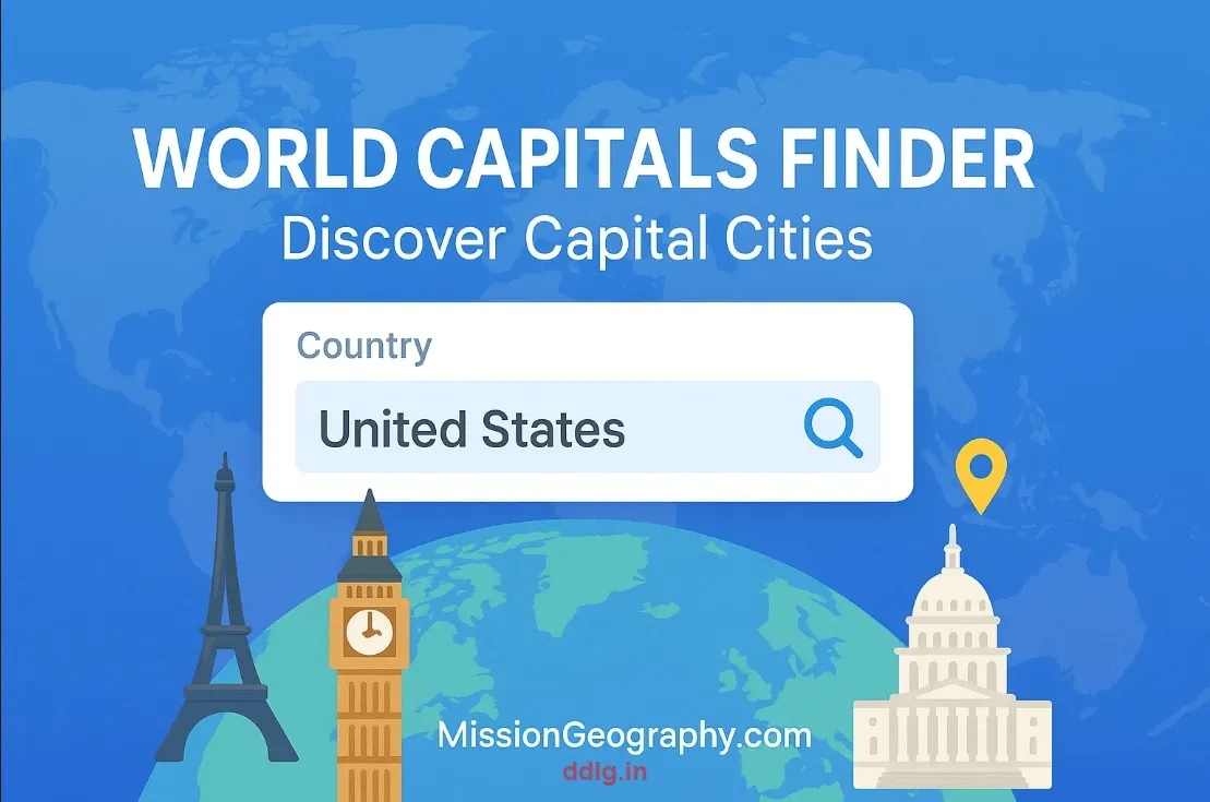
Discover the political and cultural hearts of nations with our comprehensive World Capitals Finder guide. Learn to quickly identify capital cities, explore their demographic significance, understand regional contexts, apply capital data for geography quizzes, travel planning, political analysis, and cultural studies. From major world capitals to lesser-known political centers, become an expert in global governance geography.
What You'll Learn: Capital city identification, demographic analysis, regional context understanding, educational quiz preparation, travel planning applications, and political geography insights.
The true power of our geography tool suite emerges when you combine multiple tools for comprehensive geographic intelligence. Here are professional-level strategies for maximizing your geographic research capabilities:
Research Project Workflows
Comprehensive Country Analysis: Start with Country Info Finder for demographics → Currency by Country for economic context → World Capitals Finder for political center → Latitude Longitude Finder for precise location → Time Zone Converter for temporal context
Travel Planning Intelligence: Identify destination coordinates → Calculate local time → Research currency requirements → Explore capital city attractions → Gather cultural and linguistic information
Business Market Research: Analyze target country demographics → Understand monetary systems → Identify key political centers → Calculate time differences for communication → Gather regional economic data
Educational Lesson Development: Create interactive geography lessons combining coordinate finding → Time zone calculations → Cultural exploration → Economic understanding → Political geography
Advanced Use Cases
Spatial Analysis Projects: Use coordinate data for GIS mapping and spatial relationship analysis
International Business Coordination: Optimize global meeting times and understand market contexts
Cultural Exchange Programs: Prepare participants with comprehensive cultural and geographic intelligence
Academic Research: Support thesis projects with reliable, citable geographic data
Travel Blog Content: Create engaging content with accurate geographic and cultural information
What Makes Our Geography Tool Guides Exceptional
Our tutorial philosophy centers on practical education that transforms novice users into confident geographic researchers. Each guide is meticulously crafted based on educational best practices and real user feedback.
Comprehensive Learning Architecture
Progressive Skill Building: Start with basics and advance to expert-level techniques
Visual Learning Support: Screenshots, diagrams, and interactive examples throughout
Real-World Applications: Practical scenarios from education, travel, business, and research
Troubleshooting Guides: Common issues and solutions for smooth user experience
Advanced Techniques: Professional tips for power users and researchers
Cross-Platform Compatibility: Instructions for desktop, tablet, and mobile usage
Educational Standards Alignment
Our guides support various educational frameworks and standards:
Geographic Literacy Standards: Aligned with national geography education guidelines
Digital Literacy Integration: Teaching technological fluency through geographic tools
Critical Thinking Development: Encouraging analysis and interpretation of geographic data
Cultural Competency: Fostering global awareness and cultural understanding
STEM Integration: Connecting geography with science, technology, and mathematics
Professional & Academic Applications
Our geography tools and guides serve diverse professional communities worldwide, from academic researchers to international business professionals. Here's how different sectors leverage our resources:
Academic & Research Communities
University Researchers: Spatial analysis for thesis projects and academic publications
K-12 Educators: Interactive lesson plans and student engagement activities
Geographic Information Systems (GIS) Professionals: Coordinate data for mapping projects
Environmental Scientists: Location-based research and field study planning
Anthropologists: Cultural and demographic research support
Business & Industry Applications
International Trade: Market research and cultural intelligence gathering
Logistics & Supply Chain: Precise location identification and time coordination
Tourism Industry: Destination research and travel planning support
Remote Work Management: Global team coordination and scheduling
Market Expansion: Demographic and economic intelligence for new markets
Media & Communication
Journalists: Accurate geographic context for international reporting
Travel Writers: Reliable data for destination articles and guides
Documentary Producers: Geographic accuracy for educational content
Podcast Creators: Global content development and fact-checking
Data Accuracy, Sources & Reliability Standards
Professional-grade accuracy is non-negotiable in educational and research contexts. Our commitment to data integrity involves rigorous sourcing, regular verification, and transparent methodology.
Primary Data Sources
REST Countries API: Comprehensive country data from official international databases
Google Maps Platform: Precise coordinate data and mapping integration services
World Bank Open Data: Economic indicators and demographic statistics
United Nations Statistics: Official population and development data
International Monetary Fund: Currency and economic information
Government Statistical Offices: Official country-specific data sources
Quality Assurance Process
Monthly Data Verification: Regular updates and accuracy checks
Multiple Source Cross-Reference: Validation against multiple authoritative sources
User Feedback Integration: Community reporting system for data accuracy improvements
Version Control System: Tracking changes and maintaining data provenance
Professional Disclaimer: While we maintain the highest accuracy standards possible, we recommend cross-referencing critical information with official government sources for legal, business, or academic applications requiring absolute precision.
Maximizing Your Geography Learning Journey
Transform from casual tool user to geography expert with these proven learning strategies developed from educational research and user success stories.
Effective Learning Strategies
Start with Exploration: Browse each tool casually before diving into detailed guides
Apply Immediately: Use tools for real projects—homework, travel planning, or research
Create Learning Projects: Design personal geography projects combining multiple tools
Teach Others: Share knowledge with friends, colleagues, or students to reinforce learning
Join Communities: Connect with other geography enthusiasts and educators
Regular Practice: Incorporate tools into daily learning routines for skill retention
Building Geographic Literacy
Geographic literacy extends beyond tool proficiency to encompass spatial thinking, cultural awareness, and global perspective. Our tools support this comprehensive development through:
Spatial Reasoning: Understanding coordinate systems and geographic relationships
Cultural Intelligence: Learning about diverse countries and populations
Economic Awareness: Understanding global monetary systems and trade relationships
Temporal Coordination: Mastering global time systems and coordination
Political Geography: Recognizing governance structures and territorial organization
Begin Your Geography Mastery Journey Today
Join thousands of students, educators, travelers, and professionals who have transformed their understanding of the world through our comprehensive geography tools and expert guides. Start exploring, learning, and mastering global intelligence today.
Our success in geography education stems from understanding that effective learning combines accessibility, engagement, and practical application. We've designed our platform around proven educational principles:
Universal Design for Learning (UDL)
Multiple Representation Modes: Visual, textual, and interactive content formats
Diverse Engagement Strategies: Tools for different learning preferences and goals
Flexible Action & Expression: Multiple ways to use and apply geographic knowledge
Accessibility Focus: Designed for users with varying abilities and technologies
Constructivist Learning Philosophy
We believe learners construct knowledge through active exploration and real-world application. Our tools facilitate this by:
Hands-On Exploration: Interactive tools encourage active discovery
Real-World Connections: Practical applications in education, travel, and business
Progressive Complexity: Building from simple concepts to advanced applications
Reflective Practice: Guides encourage users to think about what they're learning
Community-Centered Education
Learning happens in communities. We foster this through:
Educator Resources: Supporting teachers who use our tools in classrooms
Student Collaboration: Tools designed for group projects and collaborative learning
Global Perspective: Connecting users with worldwide geographic knowledge
Continuous Improvement: Learning from user feedback to enhance educational value
Our Unwavering Commitment to Educational Excellence
At MissionGeography.com, we believe geography education is a fundamental human right that opens doors to global understanding, cultural empathy, and informed citizenship. Our commitment extends beyond providing tools to fostering a worldwide community of geographic literacy.
Educational Equity & Access
We're proud to offer completely free resources because we believe economic circumstances should never limit educational opportunities. Our tools have been used by:
Students in Over 150 Countries: From primary school to university level
Educators Worldwide: Teachers in both well-resourced and under-resourced schools
Professional Researchers: Academic and industry professionals requiring accurate data
Community Organizations: Non-profits and community groups using geography for social good
Future Vision
We're constantly evolving our educational offerings based on user needs, technological advances, and pedagogical research. Our roadmap includes:
Enhanced Interactive Features: More engaging and immersive learning experiences
Curriculum Integration: Resources aligned with international education standards
Community Features: Platforms for educators and learners to connect and share
Advanced Analytics: More sophisticated geographic analysis capabilities
Multilingual Support: Breaking down language barriers to global education
Important Disclaimer
This content is provided for educational and informational purposes only. While we maintain high accuracy standards using reliable data sources including REST Countries API, Google Maps, World Bank, and UN Statistics, geographic and demographic data can change. For critical applications including legal, business, or academic research requiring absolute precision, we recommend cross-referencing information with official government sources and current international databases. Our tools are designed to support learning and exploration, not replace authoritative sources for professional decision-making.
Embark on Your Global Discovery Adventure
Thank you for joining us on this comprehensive journey through the world of geographic tools and educational resources. Whether you're just beginning to explore our platform or you're ready to dive deep into advanced geographic analysis, remember that every expert was once a beginner who refused to give up.
Our five flagship tools—Country Info Finder, Currency by Country, Latitude Longitude Finder, Time Zone Converter, and World Capitals Finder—are more than digital utilities. They're gateways to understanding our interconnected world, fostering global citizenship, and developing the spatial thinking skills essential for success in our increasingly connected planet.
Start your exploration today. Choose a tool that interests you, read its comprehensive guide, and begin your transformation from curious observer to confident geographic researcher. The world is waiting to be discovered, and we're honored to be your guide on this incredible journey.